
Browse Badges
Community
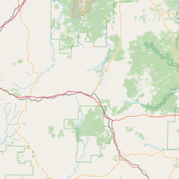
Glade Top
Off-Road Trail
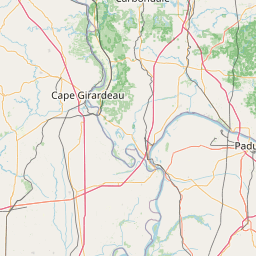
Mark Twain National Forest, Missouri

Photo by @1redcorn
Adventure Badge
Premium, USA-made, Adhesive Metal Badge
$20.00
Adventure Badge
Premium, USA-made, Adhesive Metal Badge
Commemorate your experience at Glade Top with a premium, USA-made Adventure Badge for your vehicle, RV, or camper.
Would you like to add a date to your badge?
Add this trail to your Adventure Log with the button below
and we'll add the year of your adventure to your badge.
Trail Information
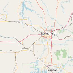
Glade Top is the one and only National Forest Scenic Byway in the state of Missouri. Situated in the Mark Twain National Forest, just south of Ava, MO, this 23-mile trail takes you along the ridge tops of the Springfield Plateau and provides incredible views of the glades (clearings in the forest filled with sunlight) within. On a clear day, you can even catch a glimpse of the Boston Mountains to the south in Arkansas!
Glade Top is a mild trail that is suitable for all vehicle types. That said, there are many off-shoot trails surrounding the main trail that require high-clearance, 4x4 equipment. With a proper vehicle setup, you can easily spend a weekend camping and exploring the trails in the area. Please head over to the forest service link further down on this page for additional trail and camping details.
While on Glade Top, you'll come up on nine marked waypoints. We've listed and linked them here for additional information.
- Haden Park
- Smoke Tree Scene
- Arkansas View
- Watershed Divide
- Caney Picnic Area
- Willie Lee/Wolf Junction
- Big Creek Basin
- Panorama
- McClurg Glade
The Mark Twain National Forest is really a treasure in the Missouri Ozarks. We highly suggest driving the trail in the Spring or Fall when the foliage is full of color. Given the number of different ways you can approach Glade Top and the surrounding trails, it makes a fantastic destination for hard-core wheels, overlanders, campers, and afternoon picnickers alike.
If you're interested in more, check out this video from @BudgetOverland as they explore Glade Top with @marktwainmafia1743!

Basic Info
Difficulty
Mild
Length
23.0 mi
Hightest Elevation
1505 ft
Nearest City
Ava
Website
www.fs.usda.gov
Categories
Views
Off-Road
National Forest